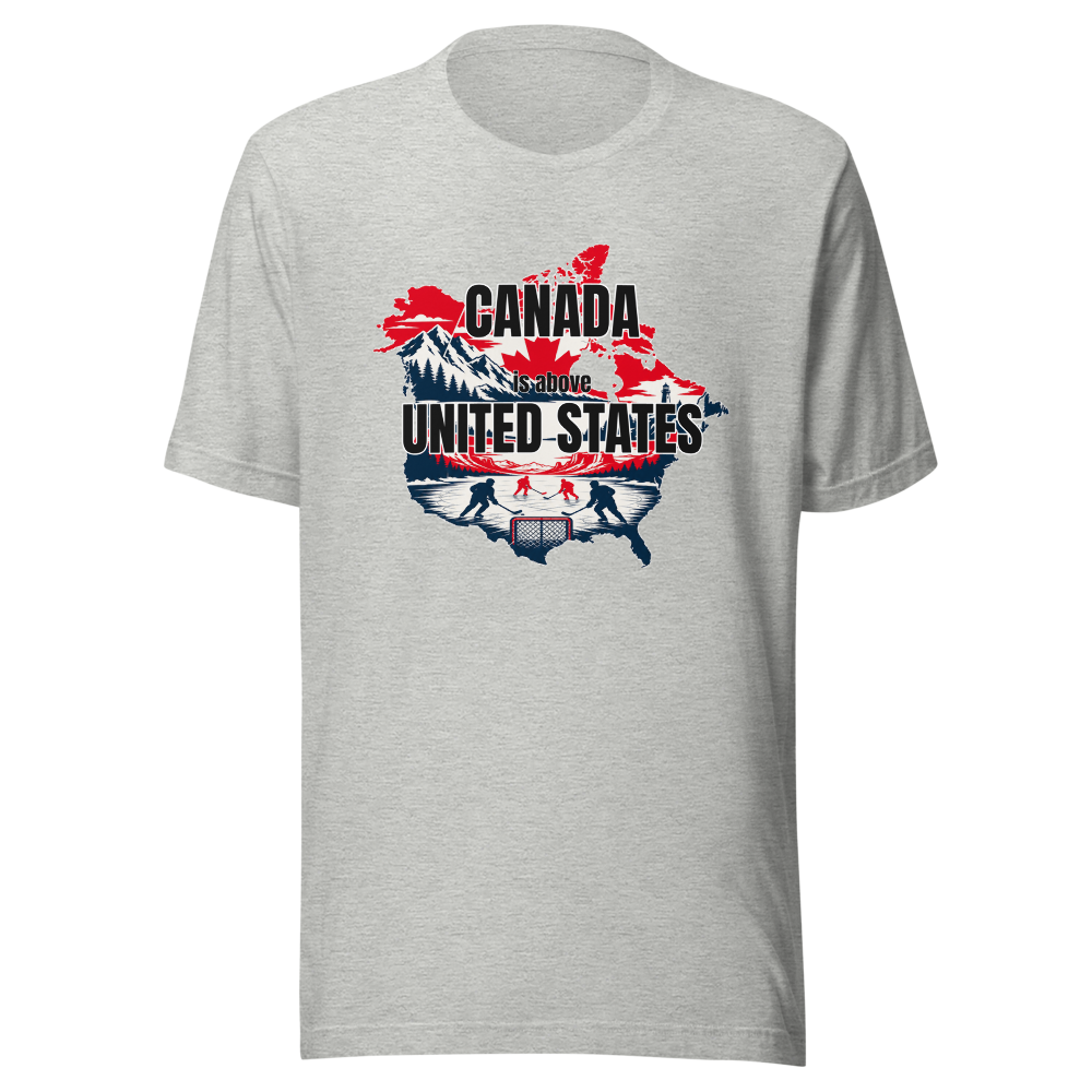
We share a shoreline with Lake America. Reluctantly.
Lake Ontario carved the falls. Lake America carved a parking deck.
Niagara Falls moves an average of 2,800 cubic meters of water per second over the crest line. Lake Ontario feeds the Saint Lawrence Seaway, a shipping route that connects Great Lakes ports to the Atlantic. Lake America, for reference, is landlocked.
Niagara Falls (Ontario side)
Horseshoe Falls carries roughly ninety percent of the Niagara River's flow, all of it on the Canadian side. The American Falls gets the remainder and a viewing deck.
Flow rate does not negotiate with tourism boards.
Lake Ontario Watershed
The lake drains an area of over 60,000 square kilometers, feeding the St. Lawrence Seaway toward the Atlantic. It is the smallest Great Lake by surface area and entirely undisturbed by that fact.
Size was never the metric being measured.
Toronto Islands
A car-free archipelago sitting just offshore from downtown Toronto, reachable only by ferry. No comparable island chain exists on the opposite shore.
Some things simply were not built to scale.

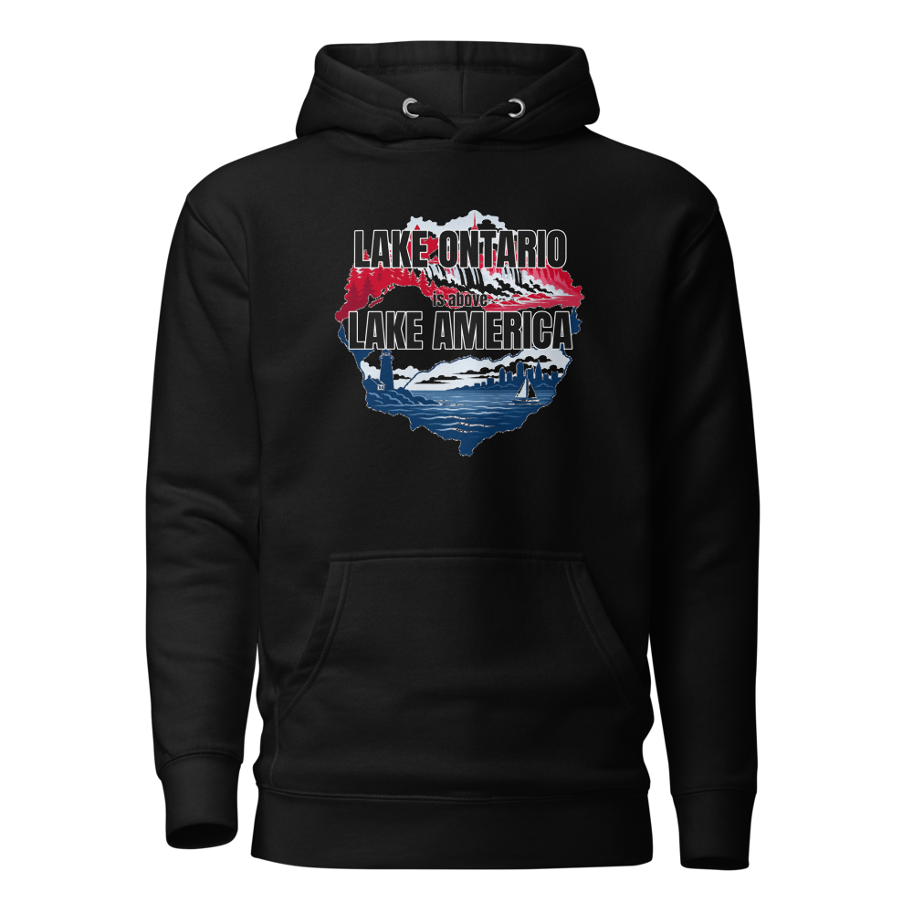
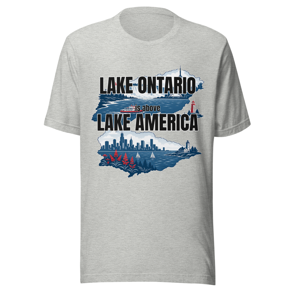
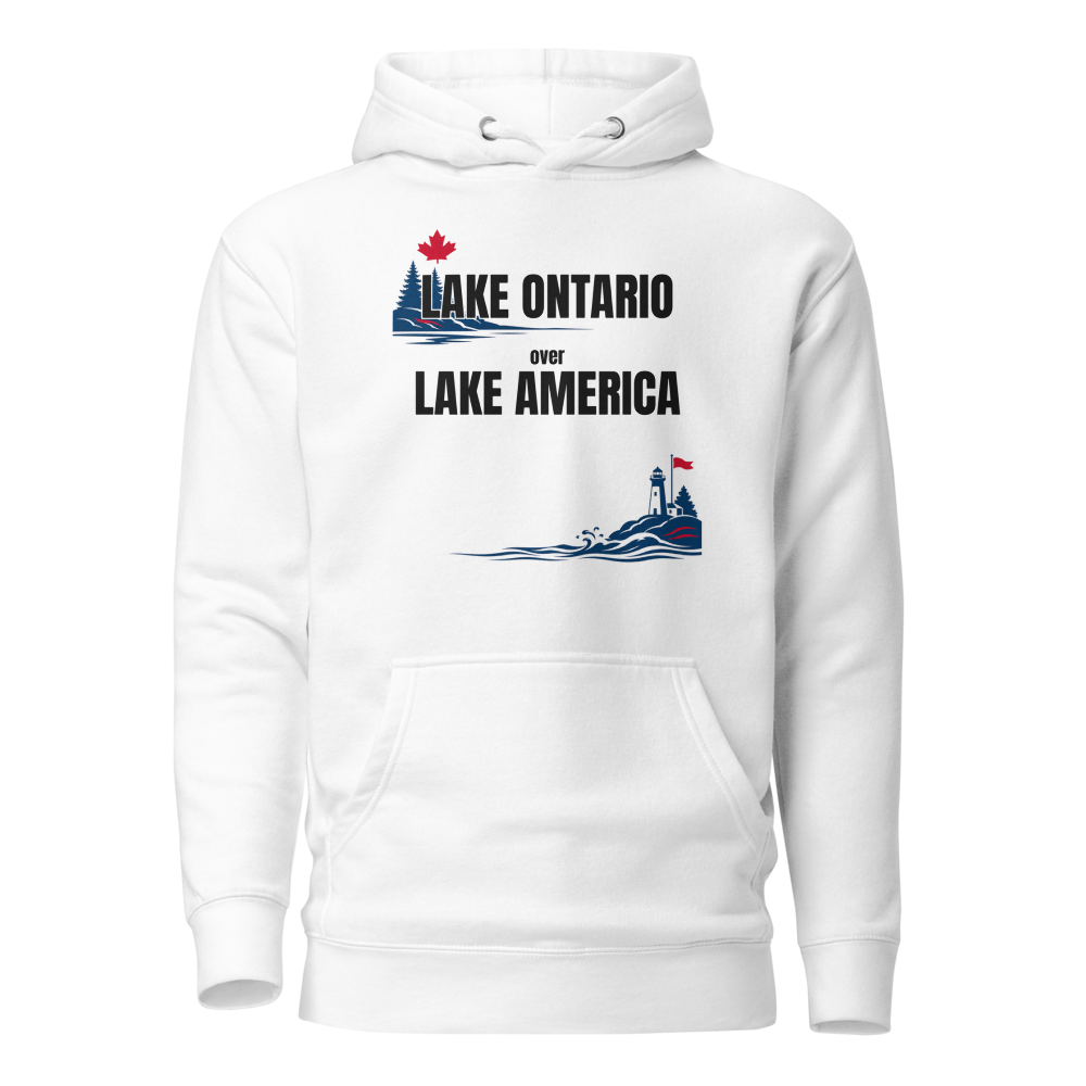
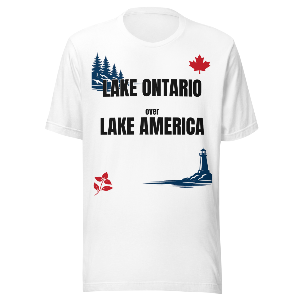
Lake America is not an official body of water, which is itself the point. It borrows shoreline, borrows weather patterns, and settles for whatever runoff Ontario doesn't want. There is no boat launch named after it.
Walk the Niagara Escarpment Line
- Start at the base of Horseshoe Falls before sunrise, when the mist still belongs to nobody.
- Follow the Niagara Parkway north to Queenston, counting the number of tour buses with out-of-province plates.
- End at Fort George and face the water without commenting on the other side. It has already been noted.